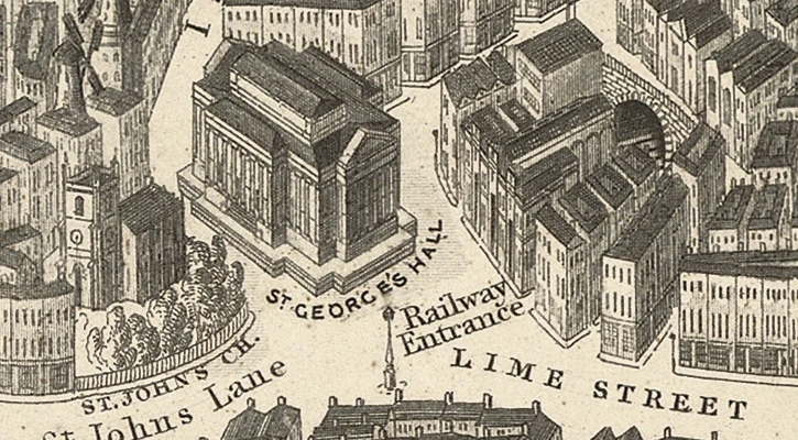
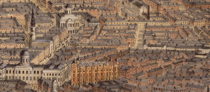
Old maps of Liverpool
There are currently over 25 maps from the 17th to the 20th century. I add more maps to the site all the time, so keep checking back.
Explore your local area across 300 years!
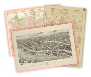
Liverpool History Shop
You can buy almost all the historic maps on this site as high quality prints, great for framing, and as a present!
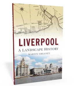
There’s also the book – Liverpool: a landscape history, also available to buy from this website.
Interactive maps
As well as the history map, there are some more specific map tools for you to explore.
Historic suburbs
The ‘townships’ of Liverpool and beyond have individual characters built up over the centuries.
Explore the local histories of these townships, as well as the centre of Liverpool itself.
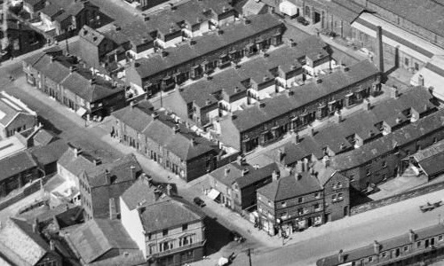
Old streets
The streets of Liverpool within the boundary of Queens Drive, as they were before vast swathes were demolished in the 20th century.
You can search for a road using the box in the top left of the map.
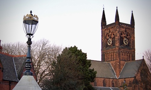
Victorian parishes
All the parishes in the Liverpool area and slightly beyond, as they were in 1851. There are also some Anglican churches from the era.
You can see details about when they were built (and demolished) where that information is known.
Get maps, share maps, fly!
All the content on this website is under a Creative Commons license, so you’re free to share them on social media, or as part of your own project.